 الجمعية الليبية للإستشعار عن بعد ونظم المعلومات الجغرافية LARS&GIS
(LandSat LC8, Sentinel2A) imagery of Libya for the year 2016 now made available by the association, as well as the (3D ASTGM2 model), to obtain the data, visit the following link:
http://www.lrsgis.org.ly/Libya_sat_index
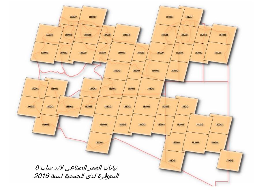
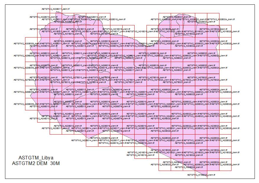

(LandSat LC8, Sentinel2A) imagery of Libya for the year 2016 now made available by the association, as well as the (3D ASTGM2 model), to obtain the data, visit the following link:
http://www.lrsgis.org.ly/Libya_sat_index